Walk information
Maps:: Included in Walking The Teifi Valley Trail
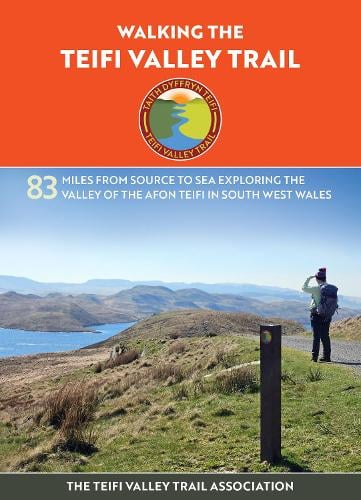
*Distance 80 miles – from Cambrian Mountains to Poppit Sands
The Teifi Valley Trail A unique trail of diverse landscapes following the Teifi River from its source at Teifi Pools in the Cambrian Mountains; through Cors Caron, a national nature reserve; through woods and farmlands to the Teifi River’s mouth at Poppit Sands Cardigan Bay. For visitors based in Cardigan, the lower sections of the trail offer easy access to some of the most varied walking along the river.
The route links a series of towns and villages that have developed along the Teifi, including Tregaron, Lampeter, Llandysul, Newcastle Emlyn, and Cardigan itself. Walkers can join the trail at several points, making it suitable for short riverside walks as well as longer, multi-day journeys. In the Cardigan area, the trail follows the river downstream towards the estuary, with options to combine inland walking with coastal paths and beaches.
As the river approaches Cardigan Bay, the landscape opens out, with wide views across farmland and the estuary. The Teifi has long been important to the town, supporting fishing, trade, and transport, and these connections are reflected in the bridges, quays, and riverside paths encountered along the way.
Much of the trail uses public footpaths, quiet lanes, and former railway routes. Walking is generally gentle in the lower valley, although surfaces and conditions vary, and some sections can be muddy after wet weather. Good footwear is recommended.
The Teifi Valley Trail provides a clear way to explore the countryside around Cardigan while staying close to the river. It can be walked year-round and works well alongside other local routes, offering visitors a practical and rewarding way to experience the area on foot.
Accommodation
- Dechrau Newydd Ferwig nr Cardigan
- Large house with Pool – Y Dorlan Cardigan
- Felin Geri Luxury Safari Tents
- The Cwtch Cilgerran
- Morfa Isaf Farm Cottages Llangrannog
- Morfa Isaf Farm Guesthouse Llangrannog
- Aberdauddwr five bedroom holiday cottage Lampeter
- Trenewydd Farm Holiday Cottages
- Penwern Fach Holiday Cottages Cenarth
- Poppit Sands Caravan Park
- Troedyrhiw Five Star Holiday Cottages Cardigan
- Y Bwthyn Cellan Lampeter
- Five bed-roomed holiday farmhouse
- Mwnt Holiday Cottages Cardigan
More maps and books for Exploring Cardigan Bay and Ceredigion Coast Path can be found by clicking here

